
TLS vs Mobile SLAM: Choosing the Right Scanner for the Job
How Each System Works
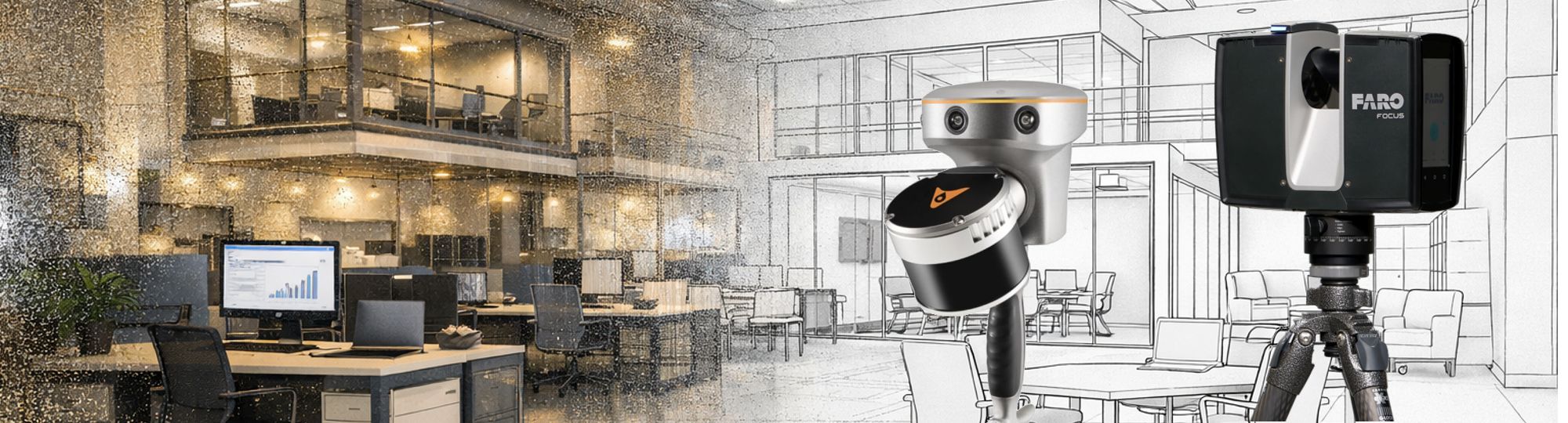
TLS (Terrestrial laser scanners) are designed to operate from fixed positions, typically mounted on a tripod. Each scan is captured from a stationary setup, and multiple scans are required to cover an entire site. In contrast, mobile SLAM scanners combine LiDAR with simultaneous localization and mapping algorithms and GNSS positioning, allowing operators to move freely while continuously collecting data. This fundamental difference in mobility has a major impact on workflow, efficiency, and application suitability.
Geo-referencing and Positioning
Geo-referencing is a key consideration in any surveying project. TLS systems typically rely on ground control points or external GNSS measurements to establish accurate positioning. This process can be time-consuming but delivers very high precision. Mobile SLAM systems, on the other hand, use integrated GNSS to provide absolute positioning, while SLAM algorithms refine the relative accuracy of the dataset. This allows for faster deployment, particularly in large or complex environments, while still maintaining reliable positioning even when GNSS availability is limited.
Time Efficiency in the Field
Time efficiency is another major differentiator. TLS workflows require multiple setups, careful target placement, and extensive post-processing to align and register individual scans. As a result, both scanning and processing times are relatively long. Mobile SLAM scanners dramatically reduce field time by capturing data continuously as the operator moves through the environment. Processing is also faster, often taking place in real time or near real time, although some additional corrections may be needed to address SLAM drift.
TLS provides unmatched accuracy and detail, while mobile SLAM delivers speed and efficiency. The right choice depends on the specific requirements of the project.
Accuracy and Resolution
When it comes to accuracy and resolution, TLS systems remain the gold standard. They deliver sub-centimeter accuracy and very high point density, making them ideal for applications where precision is critical. Mobile SLAM systems typically achieve centimeter-level accuracy when supported by GNSS, with lower point density that depends on movement speed and algorithm performance. This makes them better suited for projects where speed and coverage are more important than ultra-high precision.
Workflow Complexity
The complexity of the workflow also varies between the two approaches. TLS requires experienced surveyors to manage setup, alignment, and data registration. Mobile SLAM systems are generally more automated, though they still require careful handling of GNSS alignment and post-processing refinement to ensure optimal results.
Environmental Conditions and Portability
Environmental conditions play an important role in selecting the right technology. TLS performs best in open or controlled environments where stable setups and clear lines of sight are possible. Mobile SLAM systems excel in dynamic and complex environments, including indoor spaces and areas that are difficult to access. In GNSS-denied areas, SLAM systems continue to perform effectively thanks to sensitive sensors such as IMUs and robust SLAM algorithms, which maintain positioning and mapping accuracy even without satellite signals. Portability further highlights the contrast between the two. TLS units are relatively bulky and stationary, while mobile SLAM systems are highly portable and can be handheld, backpack-mounted, or vehicle-mounted. This mobility makes them particularly effective for large-scale mapping tasks.
Applications and Cost
In terms of applications, TLS is the preferred choice for high-precision surveying, detailed building documentation, and forensic analysis. Mobile SLAM with GNSS is better suited for large-area mapping, indoor environments, mining operations, tunneling, urban planning, and asset management where speed and flexibility are essential. Cost considerations also come into play, as TLS systems typically involve higher hardware and processing costs, while mobile SLAM solutions are more cost-effective for extensive survey areas. Ultimately, both technologies offer clear advantages. TLS provides unmatched accuracy and detail, while mobile SLAM delivers speed and efficiency. The right choice depends on the specific requirements of the project, including accuracy needs, site conditions, and the scale of the survey.
TLS vs SLAM: Side by Side
| Feature | TLS | Mobile SLAM |
|---|---|---|
| Sub-centimeter accuracy |
|
|
| Fast field capture |
|
|
| Indoor/GNSS-denied environments |
|
|
| High point density |
|
|
| Minimal setup required |
|
|
| Real-time processing |
|
|
| Portability |
|
|
| Cost-effective for large areas |
|
|
| Best for forensic/detail work |
|
|


Published by iQlaser
Authorised Reseller · Southern Africa
iQlaser is the authorised FARO Focus and CHCNAV reseller in Southern Africa, matching the right scanner to every project with local support, training, and after-sales service. Contact iQlaser to arrange a demonstration or request a quotation.
