
- Details
- By iQlaser
FARO Focus & Sphere XG
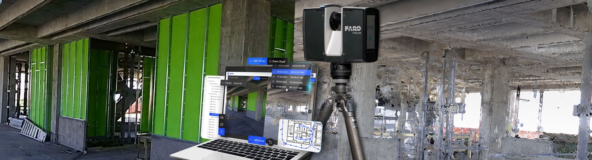
A Smarter Workflow for Reality Capture
Capturing accurate 3D laser scan data is only part of a successful reality capture project. Equally important is how that data is processed, shared, and managed.
By combining the FARO Focus Laser Scanner family with FARO Sphere XG, surveyors, engineers, architects, and construction professionals can streamline every stage of the project - from field capture to final delivery.
- Details
- By iQlaser
RS7: The IMU Advantage

A New Standard in Handheld SLAM
The launch of the CHCNAV RS7 marks a notable step forward in handheld SLAM (Simultaneous Localization and Mapping) technology, particularly for professionals who rely on fast, accurate, and reliable 3D data capture in complex environments. Designed for indoor surveying, BIM workflows, and reality capture, the RS7 combines high-performance LiDAR with a tightly integrated inertial system, placing its IMU at the center of its capabilities.
- Details
- By iQlaser
CHCNAV RS7: Redefining Indoor and Underground 3D Scanning

Handheld Real‑Time 3D LiDAR Scanner
The CHCNAV RS7 represents a major leap forward in SLAM-based 3D scanning. Designed specifically for indoor environments and underground applications such as mining, it combines advanced sensing technologies with an efficient workflow to deliver fast, reliable, and high-quality spatial data.
More than just a new device, the RS7 is quickly establishing itself as the new standard for professionals working in complex, GNSS-denied environments.
- Details
- By iQlaser
How Laser Scanning Transforms As-Built Floor Plans

Capturing Reality with Precision
A terrestrial laser scanner captures millions of measurement points in a matter of minutes, producing what is known as a “point cloud.” This highly detailed digital representation of a building records exact dimensions, geometry, and spatial relationships. For floor plans, this means walls, doors, windows, and structural elements are documented with a level of precision that traditional manual surveying methods struggle to achieve.
- Details
- By iQlaser
TLS vs Mobile SLAM: Choosing the Right Scanner for the Job
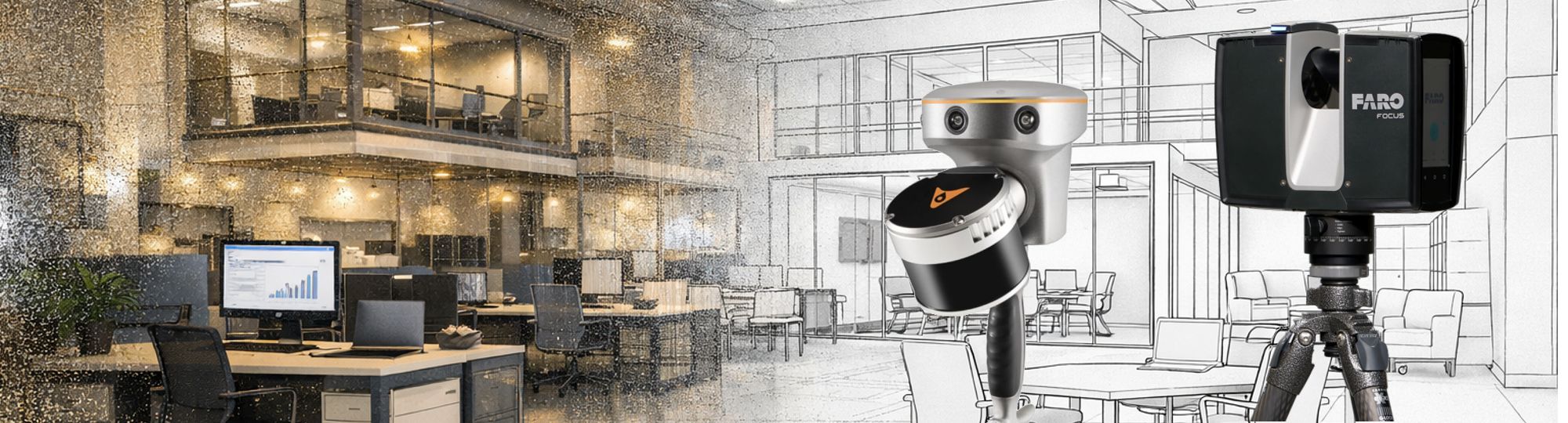
How Each System Works
TLS (Terrestrial laser scanners) are designed to operate from fixed positions, typically mounted on a tripod. Each scan is captured from a stationary setup, and multiple scans are required to cover an entire site. In contrast, mobile SLAM scanners combine LiDAR with simultaneous localization and mapping algorithms and GNSS positioning, allowing operators to move freely while continuously collecting data. This fundamental difference in mobility has a major impact on workflow, efficiency, and application suitability.
Contact Us
| Tel: | +27 11 659 0346 |
| Mobile: | +27 82 850 0099 |
| Email: | info@iqlaser.co.za |
| GPS; | 25º 59.7917' S 27º 52.9783' E |
| Physical Address: | Plot 102 Paul Soloman Drive Mogale City Johannesburg South Africa |
| Postal Address: | PO Box 340 Bedfordview 2008 |
 |
 |
Privacy Policy