
- Details
- By iQlaser
Faster, Safer Tunnel Scanning with the CHCNAV RS7
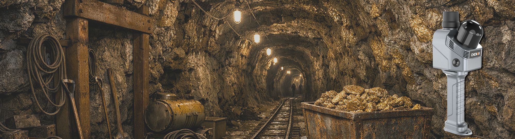
How the RS7 Improves Underground Mapping
Modern mining and construction projects require fast, accurate, and safe tunnel documentation. Traditional surveying methods can be time-consuming, labour-intensive, and difficult to perform in confined underground environments.
The CHCNAV RS7 is changing this process by providing high-speed handheld LiDAR scanning designed for complex and feature-poor environments such as tunnels, shafts, and underground corridors.
- Details
- By iQlaser
Measuring Covered Stockpiles with SLAM
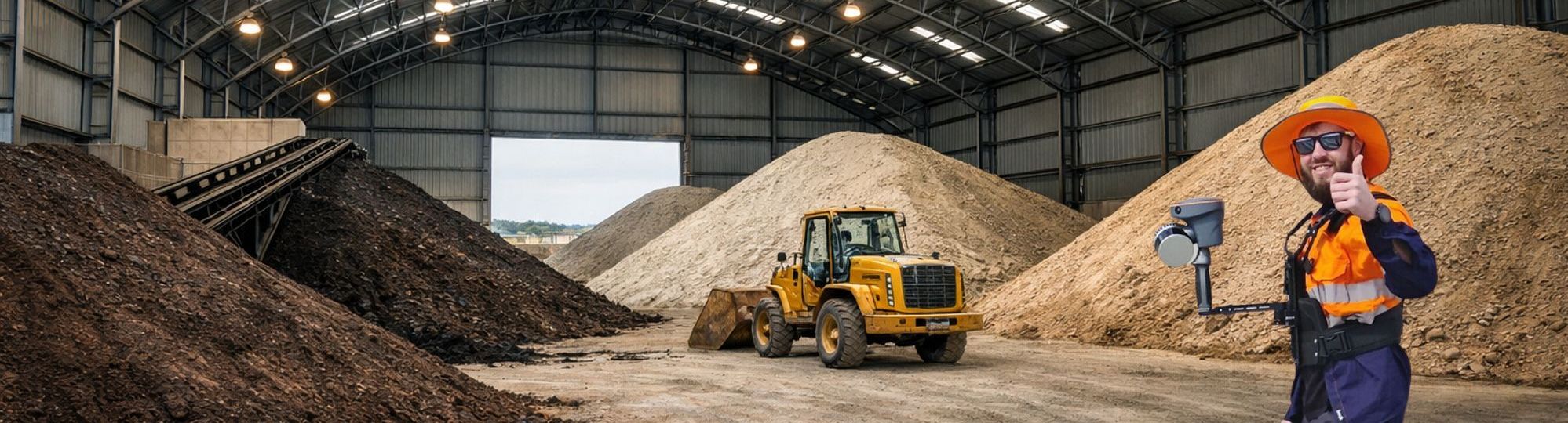
A New Approach to an Old Challenge
The emergence of SLAM-based laser scanning is changing this workflow fundamentally, and the CHCNAV RS10 stands out as a particularly effective solution for these challenging environments.
At its core, the RS10 removes one of the biggest constraints of conventional surveying: the need for line-of-sight. Instead of collecting individual points from fixed instrument positions, the operator can simply walk through the site while the system continuously captures a dense 3D representation of the surroundings.
- Details
- By iQlaser
TLS vs Mobile SLAM: Choosing the Right Scanner for the Job
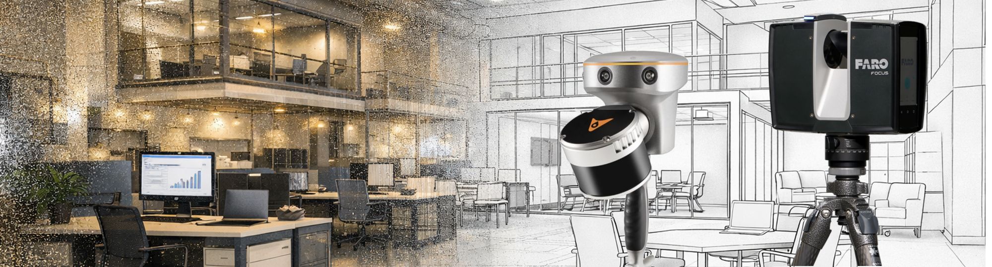
How Each System Works
TLS (Terrestrial laser scanners) are designed to operate from fixed positions, typically mounted on a tripod. Each scan is captured from a stationary setup, and multiple scans are required to cover an entire site. In contrast, mobile SLAM scanners combine LiDAR with simultaneous localization and mapping algorithms and GNSS positioning, allowing operators to move freely while continuously collecting data. This fundamental difference in mobility has a major impact on workflow, efficiency, and application suitability.
Contact Us
| Tel: | +27 11 659 0346 |
| Mobile: | +27 82 850 0099 |
| Email: | info@iqlaser.co.za |
| GPS; | 25º 59.7917' S 27º 52.9783' E |
| Physical Address: | Plot 102 Paul Soloman Drive Mogale City Johannesburg South Africa |
| Postal Address: | PO Box 340 Bedfordview 2008 |
 |
 |
Privacy Policy