
Faster, Safer Tunnel Scanning with the CHCNAV RS7
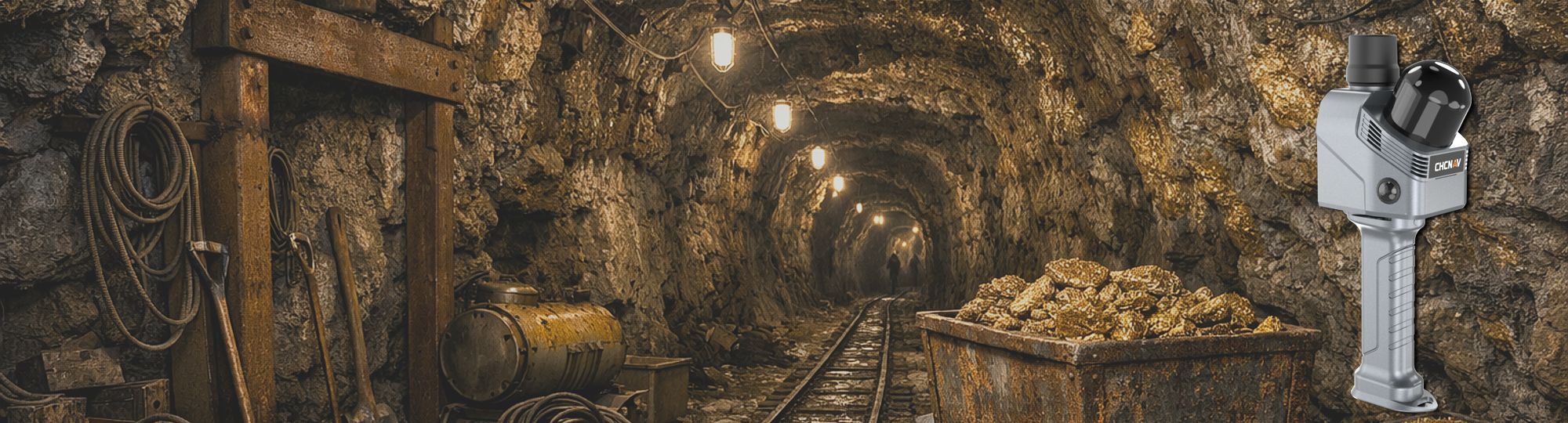
How the RS7 Improves Underground Mapping
Modern mining and construction projects require fast, accurate, and safe tunnel documentation. Traditional surveying methods can be time-consuming, labour-intensive, and difficult to perform in confined underground environments.
The CHCNAV RS7 is changing this process by providing high-speed handheld LiDAR scanning designed for complex and feature-poor environments such as tunnels, shafts, and underground corridors.
Stable Positioning in Challenging Underground Environments
The RS7 combines LiDAR, SLAM, and a powerful inertial measurement unit (IMU) to capture accurate 3D point clouds while operators simply walk through the tunnel. Its IMU, with bias instability better than 0.5°/h, helps maintain stable positioning even in environments where GNSS signals are unavailable and visual references are limited. This is especially valuable in mining tunnels, where repetitive surfaces and low visibility can create challenges for conventional scanning systems.
High-Density Point Clouds for Detailed Tunnel Mapping
One of the major advantages of the RS7 is its ability to generate high-density point clouds at up to 1.15 million points per second. This allows survey teams to capture detailed tunnel geometry, rock surfaces, structural supports, and excavation progress with exceptional precision.
The ultra-wide 360° × 189° field of view ensures that walls, ceilings, and confined sections are scanned completely without requiring repeated passes or complicated scanner positioning.
Faster Workflows Underground
Speed is another important benefit. Traditional static laser scanning often requires multiple setups, tripod positioning, and extensive registration work in post-processing. With the RS7 handheld workflow, operators can move continuously through the tunnel while collecting data in real time. This significantly reduces survey duration and minimizes operational downtime. Faster data collection means construction and mining teams can make decisions sooner, improving productivity and reducing project delays.
Faster scanning does not just improve productivity - it also reduces exposure time in hazardous underground environments.
Reducing Survey Costs
The RS7 also offers strong cost-effectiveness. Because the system reduces setup time, field labor, and repeat scanning, companies can complete surveys with fewer resources. The integrated cloud workflow further simplifies processing and data delivery, lowering the need for extensive office processing time. For mining contractors and infrastructure companies managing large tunnel networks, these efficiencies can result in substantial operational savings.
Improving Safety in Underground Operations
Safety is one of the most critical advantages of handheld tunnel scanning. Underground environments often contain unstable ground conditions, heavy equipment movement, dust, and restricted access areas. By enabling rapid mobile scanning, the RS7 reduces the amount of time personnel spend in hazardous zones. Surveyors can capture complete tunnel data quickly and safely without repeatedly stopping to reposition equipment. Accurate point cloud data also supports better monitoring of tunnel deformation, excavation progress, and structural conditions, helping project managers identify risks earlier and improve site safety planning.
Conclusion
As mining and construction projects continue to demand faster and more accurate digital workflows, the RS7 provides an efficient solution for modern tunnel mapping. Its powerful IMU, dense point cloud capability, cost efficiency, and safety benefits make it a valuable tool for underground surveying and infrastructure development.

Published by iQlaser
Authorised Reseller · Southern Africa
iQlaser is the authorised CHCNAV reseller in Southern Africa, supplying the full range of CHCNAV survey and positioning solutions - including the RS7 - with local support, training, and after-sales service. Contact iQlaser to arrange a demonstration or request a quotation.

