
Measuring Covered Stockpiles with SLAM
A New Approach to an Old Challenge
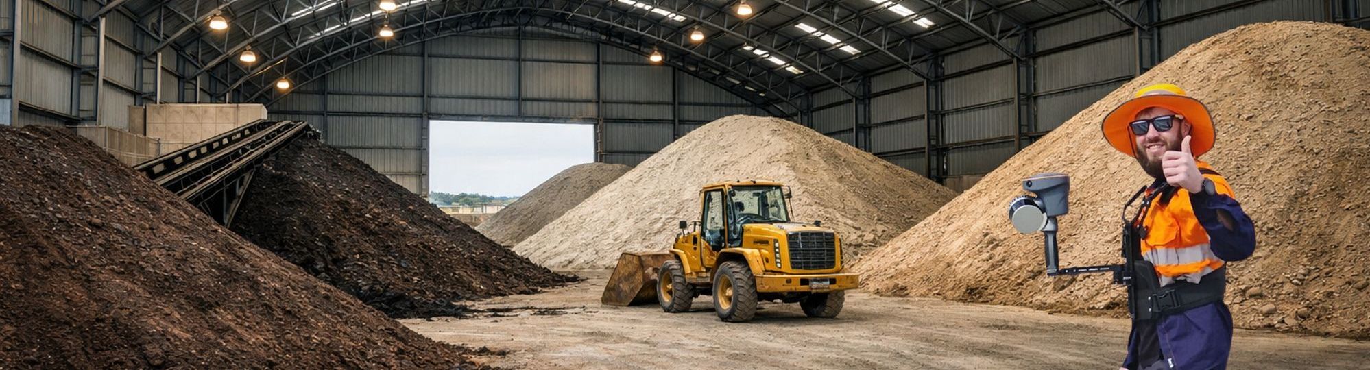
The emergence of SLAM-based laser scanning is changing this workflow fundamentally, and the CHCNAV RS10 stands out as a particularly effective solution for these challenging environments.
At its core, the RS10 removes one of the biggest constraints of conventional surveying: the need for line-of-sight. Instead of collecting individual points from fixed instrument positions, the operator can simply walk through the site while the system continuously captures a dense 3D representation of the surroundings.
This shift from discrete measurements to full surface capture dramatically improves the completeness of the data. In covered stockpiles, where occlusions and irregular shapes are common, this means that volumes are calculated from a far more representative dataset rather than interpolated assumptions.
Seamless Operation in GNSS-Denied Environments
Another defining advantage of the RS10 is its ability to operate seamlessly in GNSS-denied environments.
Covered stockpiles often block or degrade satellite signals, forcing total station users to rely on complex control setups and repeated repositioning. The RS10 overcomes this limitation by combining LiDAR with SLAM algorithms and GNSS RTK. When satellite signals are unavailable, the system maintains accurate positioning through SLAM, then seamlessly integrates with GNSS when signals return. This hybrid capability allows surveyors to move freely between indoor and outdoor spaces without interrupting their workflow.
What once took hours now takes minutes - without sacrificing accuracy."
Speed, Safety, and Real-Time Feedback
Speed is another area where the RS10 delivers a clear benefit. Traditional total station surveys can be slow, especially when multiple setups are required to cover a large or obstructed stockpile. Each setup introduces additional time for leveling, orientation, and point measurement. In contrast, the RS10 enables continuous data acquisition in a single pass. What might take hours using conventional methods can often be completed in a fraction of the time, significantly improving productivity on site.
This efficiency also translates into improved safety. Surveying stockpiles with a total station may involve climbing unstable surfaces or working near active equipment to achieve proper visibility. With the RS10, the operator can remain on stable, accessible paths while still capturing a complete dataset. By reducing the need to physically access hazardous areas, SLAM scanning helps lower operational risk without compromising data quality.
Equally important is the immediate feedback the system provides. As the RS10 captures data, it builds a point cloud in real time, allowing the operator to verify coverage on site. This reduces the likelihood of missing critical areas and eliminates the need for costly return visits. In contrast, traditional methods often reveal gaps only after post-processing, when it is too late to correct them efficiently..
A Simplified, Integrated Workflow
The overall workflow is also simplified. The integration of multiple technologies into a single device reduces reliance on complex survey setups and minimizes the need for extensive planning. Instead of focusing on instrument positioning and visibility constraints, surveyors can concentrate on ensuring complete coverage of the stockpile.
While total stations remain essential for applications requiring very high precision control, their limitations become apparent in complex, covered environments. The CHCNAV RS10 offers a more flexible and efficient alternative, particularly for volume calculations where completeness and speed are critical.
The Path Forward
As surveying continues to evolve toward full 3D data capture, SLAM-based solutions like the RS10 are redefining how covered stockpiles are measured. By combining mobility, accuracy, and efficiency, they provide a clear path forward for modern survey workflows.

Published by iQlaser
Authorised Reseller · Southern Africa
iQlaser is the authorised CHCNAV reseller in Southern Africa, supplying the full range of CHCNAV survey and positioning solutions - including the RS10 - with local support, training, and after-sales service. Contact iQlaser to arrange a demonstration or request a quotation.

