

CHCNAV RS7

The RS7 is a professional-grade, handheld LiDAR SLAM scanner engineered for high-performance building and interior scanning applications including mining tunnels.
Built for BIM documentation, indoor surveying, renovation planning, and complex spatial analysis, the CHCNAV RS7 is designed to help professionals capture high density 3D data efficiently and convert it into practical deliverables through CHCNAV’s software and cloud ecosystem.
Combining advanced INS and SLAM fusion technology with an IMU bias instability of less than 0.5°/h, the RS7 delivers reliable and consistent motion tracking - even in environments with minimal distinguishable features.
Capable of capturing 1.15 million points per second, the RS7 boasts a 360° × 189° ultra-wide field of view, high-definition imaging, 3D Gaussian Splatting, and seamless device-to-cloud workflows, making it a powerful yet cost-effective solution for rapid and accurate 3D data capture.

RS7 Handheld SLAM Laser Scanner + test in a 100m hotel corridor

RS7 Handheld SLAM Laser Scanner + AI Smart Drafting - One-Click Precision CAD Generation
Features:
- High Density Capture with Multi-Sensor Fusion
The RS7 integrates a next-generation LiDAR scanner capturing up to 1.15 million points per second, with a 360° × 189° field of view for comprehensive coverage of floors, walls, and ceilings - reducing repeated passes in tight or cluttered spaces. A high-precision IMU with bias stability better than 0.5°/h combines with LiDAR data to maintain stable motion estimation and consistent point cloud quality, even in challenging environments such as long corridors, repetitive structures, and feature-limited interiors. - Integrated Field-to-Office Workflow with Cloud Processing
The RS7 is supported by a software ecosystem covering scan setup, data review, and post-processing. Through integration with CoCloud, teams can centralise project and data management, uploading field datasets for automated processing into registered point clouds and mesh models. This streamlined workflow reduces turnaround time and lowers the technical barrier to converting raw captures into outputs ready for design review, documentation, and CAD or BIM workflows. - High-Fidelity Visualisation with 3D Gaussian Splatting
Beyond geometric data, the RS7 supports realistic visualisation through dual 12-megapixel low-light cameras and the HPGS 2.0 engine. This enables 3D Gaussian Splatting (3DGS) outputs that deliver photorealistic scene rendering with full spatial context - helping stakeholders assess site conditions, track progress, and improve collaboration across surveying, engineering, and construction teams.
Applications:


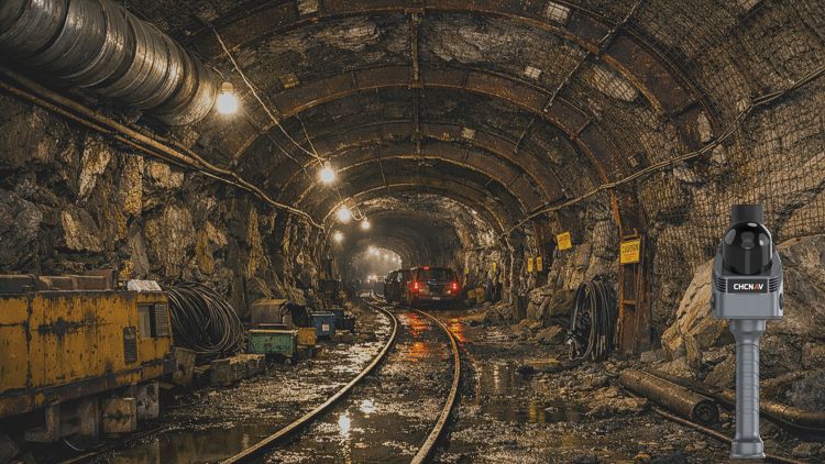

In the field:
Faster, Safer Tunnel Scanning with the CHCNAV RS7
CHCNAV RS7: The IMU Advantage
CHCNAV RS7: Redefining Indoor and Underground 3D Scanning
Technical Resources & Downloads:
Click here to download RS7 Leaflet

